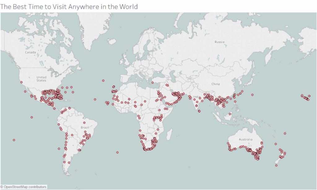
I often tell people I am allergic to two things in life. One is cold weather and the other is rain. The two together is devastating. Finding the right destination at the right time of the year that will keep me dry and warm is essential for me to stay healthy and happy. Fortunately Ryan Whitaker, a self described digital nomad, has taken the task of ensuring that your trips are not to be dampened by a heavy monsoon to hand. He has created an interactive world weather map for the best times to travel gathering 10 years of weather Data from the National Oceanic and Atmospheric Administration, with 35 million lines of data from more than 10,000 weather stations around the world. The tool works as a world map with preferred parameters such as temperatures, days of rainfall and travel dates. Once your information is entered the map pinpoints world destination that fit your criteria. And there you have it. A map that lets you know the best time to travel anywhere in the world. You also get to choose the temperature in Celsius for Europeans (and the rest of the world) or Fahrenheit for Americans. It takes a little a bit of time to get used to, but it’s definitely worth a play around for your next trip. Use the tool
Did you know: Mawsynram, located in the Meghalaya State in India, is the wettest place in the world, with an annual rainfall of 11,871 millimeters.


Leave A Reply